
We are constantly innovating
Our Technology

Native Species Reforestation at Scale
In the past it has been difficult for carbon markets to finance reforestation of native species which typically grow more slowly compared to species which are selected purely for carbon capture.
At Arborify through years of experience in forestry and carbon markets we have come up with a scalable and profitable formula which will enable us to grow thousands of hectares of native forests rich in biodiversity.
This type of reforestation is an imperative step in the evolution of the carbon market, as it will bring a permanence of centuries to nature-based solutions. Our forests are grown professionally for 40 years until they become self sustaining maintaining vast carbon stocks.

Stellite MRV
Our reforestation projects are monitored and certified with satellite technology rendering verification more transparent and accurate.
-
Carbon markets need verifiability and transparency to be credible, this is why we use satellite imagery which provides undeniable evidence of forest growth.
-
The traditional method of mesuring carbon stocks although well established is less accurate than satellite imagery because it relies on samples rather than on measuring the whole forest.
-
Satellite MRV makes the certification process much more efficient and becomes especially important as projects expand.

Biodiversity Monitoring
We track species through DNA monitoring of soil and water to provide accurate data of biodiversity enhancements of our nature based solutions projects .
-
Carbon markets need verifiability and transparency to be credible, this is why we measure biodiversity through the assessment of the DNA variety and changes rather than less advanced techniques such as using camera traps.
-
Through DNA monitoring we can obtain a comprehensive and accurate analysis of the species present in our project.
-
Biodiversity monitoring using DNA is much more effective and over large areas compared to normal methods.
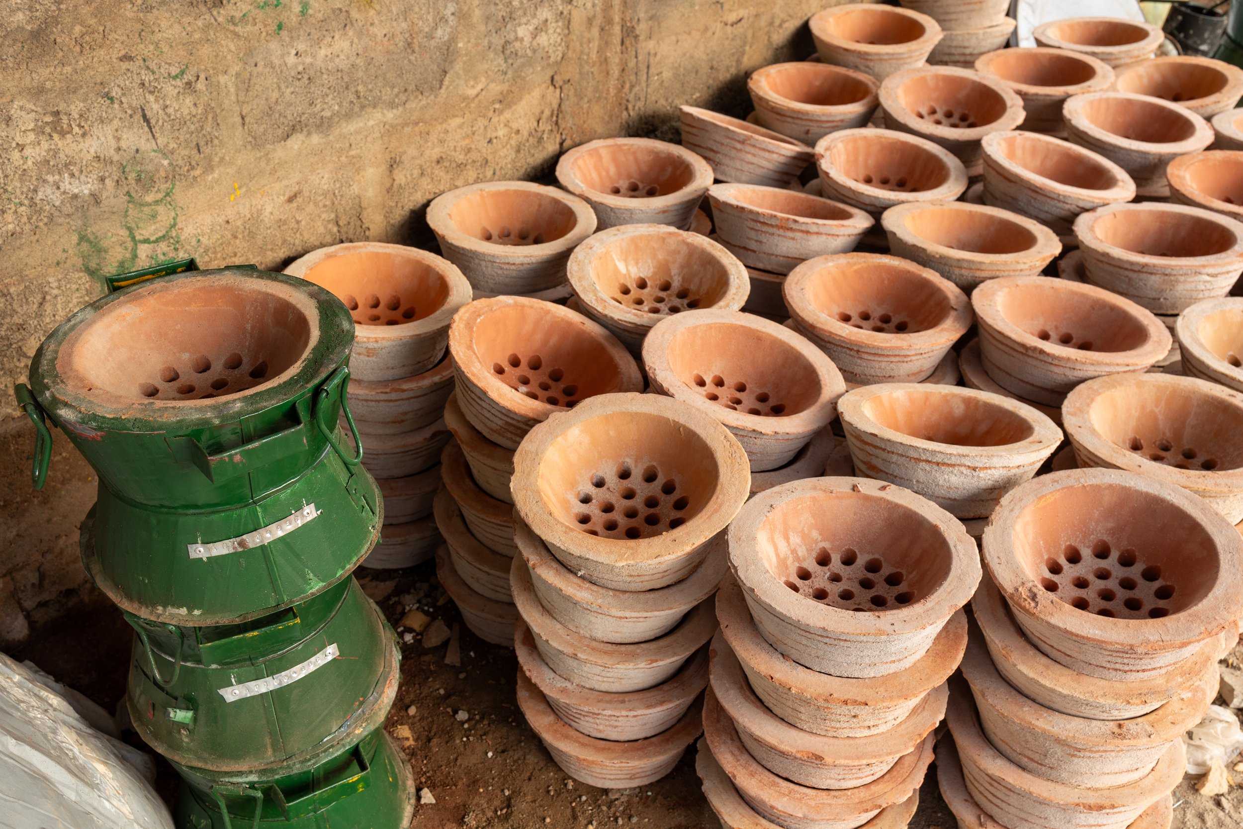
Cookstove Monitoring & Geotagging
We know exactly the location of each cookstove through geotagging. In this way the effective monitoring of the projects for a period of 5 years and the maintenance of the stoves is insured.
Using sensors to verify usage of cookstoves is a game changer because it can make issuances from this type of project extremely accurate.
-
Carbon markets need verifiability and transparency to be credible, this is why we use geotagging which provides undeniable evidence of posiiton of the cookstoves.
-
GPS positioning replaces desk and sample survey processes.
-
Cookstove projects typically struggle to scale due to the time intensive processes of monitoring, with our sensors theres problems are avoided removing barriers to scale our projects over entire regions and countries.

Carbon Credit Insurance
In Partnership with We2Sure we are creating bespoke insurance products for projects to protect investors and buyers from all the risks associated with carbon removal projects, including loss of income if the carbon credits are not issued.
We2Sure has also developed web-based application, an innovative solution independently designed to monitor carbon credit projects and perform robust and commercially affordable MRV processes.
The platform ensures the legitimacy and verifiability of projects and carbon credits, enabling better informed investment decisions.
Leveraging advanced technology, the platform sources and automates the capture of multiple satellite imageries, providing precise monitoring of the areas that generate carbon credits.
Daily monitoring includes assessing the risk of fire, severe weather, flood, and earthquakes, including sending alerts when certain parameters are triggered.